 +62 859-2375-1379
 reservations@lombok-indonesia.org



 English
 العربية
 简体中文
 繁體中文
 Dansk
 Nederlands
 Français
 Deutsch
 हिन्दी
 Indonesia
 日本語
 한국어
 Melayu
 Polski
 Slovenščina
 Español
 ไทย
 Türkçe
 Українська
 Русский
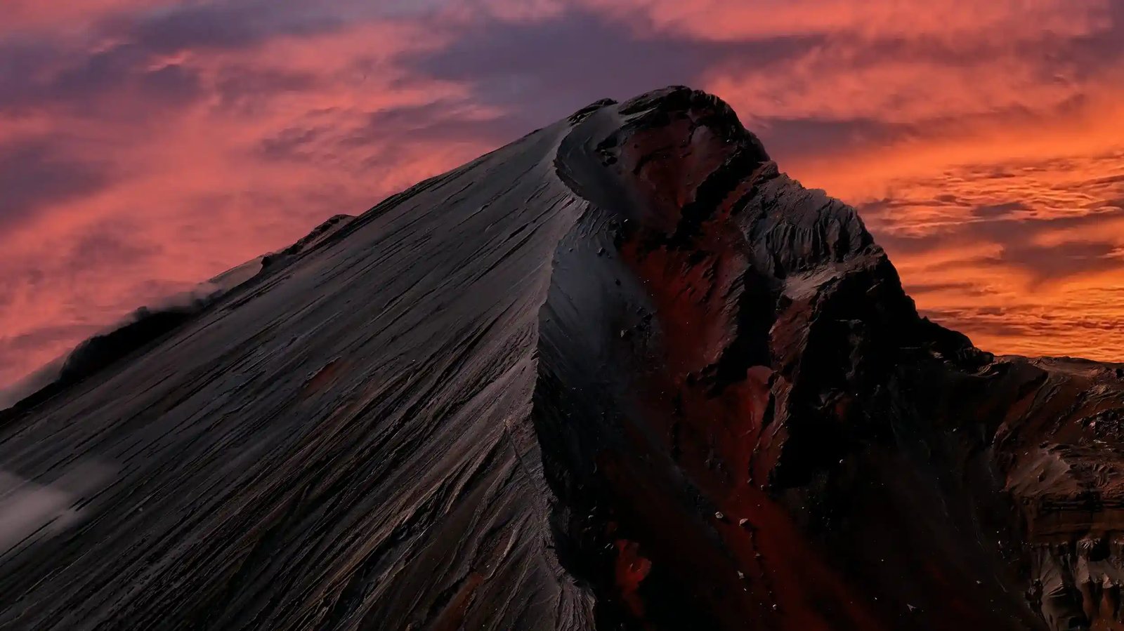
Mount Rinjani stands at 3,726 meters above sea level, making it the second highest volcano in Indonesia. Only Mount Kerinci in Sumatra is higher at 3,805 meters. That altitude puts Rinjani in serious mountain territory. You’re trekking well above the cloud line for much of the climb, and the summit offers genuinely spectacular views across Lombok, Bali, and the surrounding islands on clear days. The height is what creates most of the physical challenge.
The air is noticeably thinner, temperatures drop significantly, and the weather can change rapidly with little warning. The summit elevation is reached via a two to four day trek depending on your package. Most trekkers spend the first night at the crater rim camp around 2,600 meters, then make the summit push in the early morning hours. The climb from the crater rim to the summit covers about 1,100 meters of elevation gain over roughly three kilometers of steep volcanic scree. It’s not a huge distance, but the altitude and terrain make it feel much longer.
Many trekkers find the final few hundred meters to the summit the hardest physical effort they’ve ever put in. At Lombok-Indonesia.org, we emphasize that 3,726 meters is high enough to cause altitude symptoms in some trekkers, though severe altitude sickness is rare at this elevation. It’s also high enough for temperatures to drop below freezing, for the sun to burn faster, and for physical exertion to feel harder than at sea level. The height is what makes Rinjani a genuine achievement, not just a long walk.