 +62 859-2375-1379
 reservations@lombok-indonesia.org



 English
 العربية
 简体中文
 繁體中文
 Dansk
 Nederlands
 Français
 Deutsch
 हिन्दी
 Indonesia
 日本語
 한국어
 Melayu
 Polski
 Slovenščina
 Español
 ไทย
 Türkçe
 Українська
 Русский
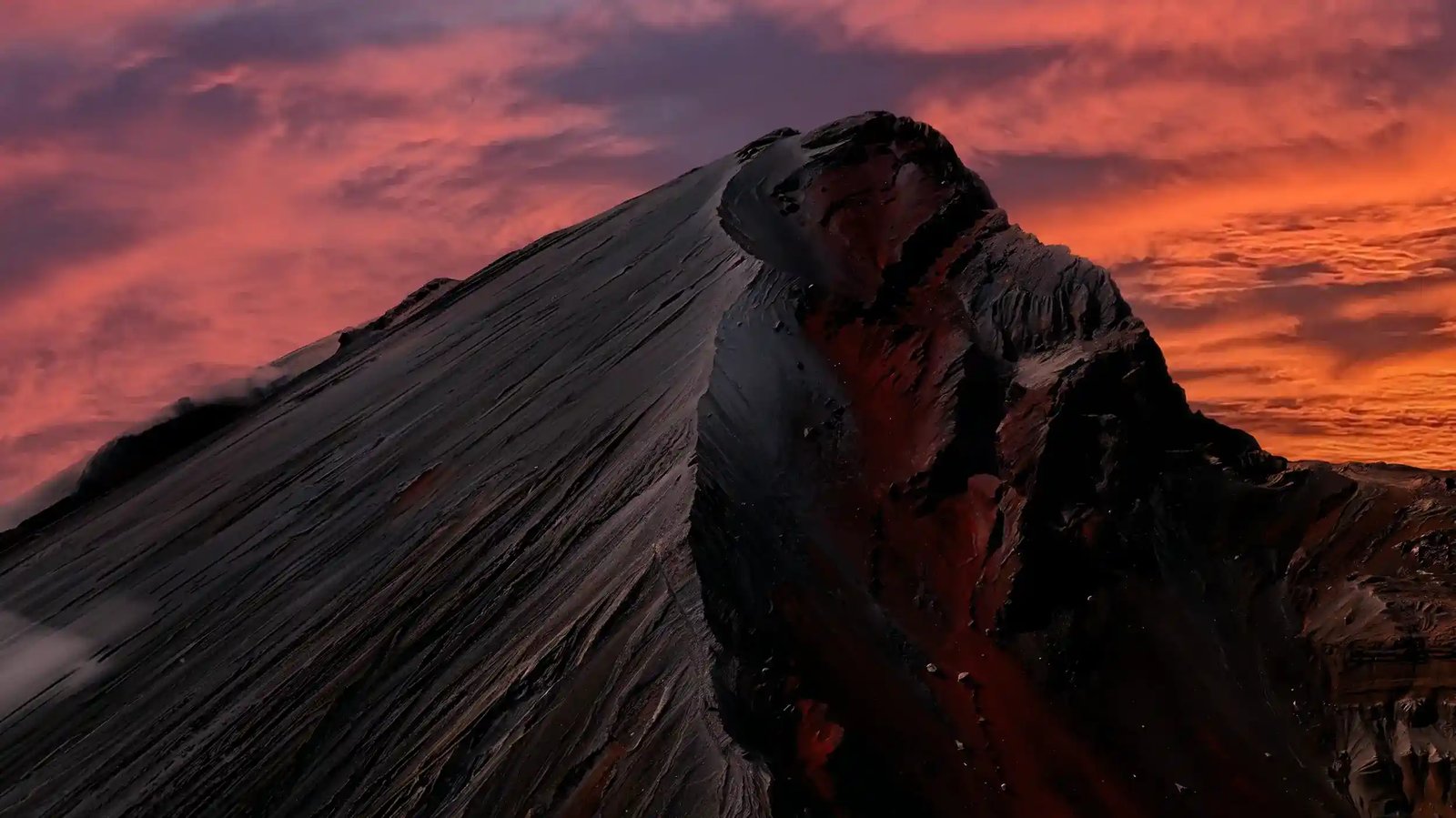
Two official sources answer this, and you need both, because volcano hazard and trail access are separate decisions made by different authorities. For volcanic activity, check PVMBG, Indonesia’s volcanology agency, through its MAGMA Indonesia platform, which publishes activity reports and the alert level for Rinjani and its crater cone Barujari. For trail access, check the national park’s own channels and the e-Rinjani booking system, which control which gates and segments are actually open.
MAGMA’s alert levels run from Level I, Normal, through Level II, Waspada, and Level III, Siaga, up to Level IV, Awas, and these are volcanic hazard categories, not trail instructions. PVMBG monitors Rinjani through its observation post in Sembalun, and the historical record shows how quickly things can move: in the 2016 Barujari eruption, the volcano produced an ash column around 2,000 meters above the summit, and the alert was raised from Level I to Level II with a recommended 3-kilometer exclusion around the crater.
That last point is the one trekkers most often miss. A volcano alert and a trail closure are different instruments, so the mountain can be at Level I while a wildfire or landslide closes your route, and it can be under an eruption advisory while gates technically operate. The 2015 and 2016 activity, including lava that entered Segara Anak and raised the lake level by about a meter, is a reminder that the lake and camps inside the caldera sit close to the active cone, and access there changes with the science, not with the season.
Practically, before you pay a deposit, ask your operator for the current status of both: the PVMBG level and the park’s route-specific notice. During your trek, the guide’s radio link to the park information center is how real-time instructions reach the mountain.
We check MAGMA and the park notices daily during the open season, and we treat an advisory or a segment closure as a hard planning input, not a negotiable detail. A dated alert from a past eruption is history, and history does not clear a trail. What clears a trail is today’s notice for your specific route, and that is what we verify before every departure.